deegree is open source software for spatial data infrastructures and the geospatial web. deegree offers components for geospatial data management, including data access, visualization, discovery and security. Open standards are at the heart of deegree.
Download - Documentation - Community Support
The software is built on the standards of the Open Geospatial Consortium (OGC) and the ISO Technical Committee 211. It includes the OGC Web Map Service (WMS) reference implementation, a fully compliant Web Feature Service (WFS) as well as packages for Catalogue Service (CSW), Web Processing Service (WPS) and Web Map Tile Service (WMTS). Since 2000 deegree has been developed by lat/lon, with the strong intention to make it a community-driven project. A major step to this effect was the acceptance to be an OSGeo project in 2010. Today, deegree is maintained by several organisations and individuals with a large user base all around the world.
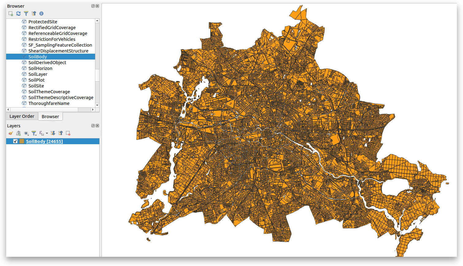 Figure: INSPIRE soil data of the city of Berlin, provided through a deegree WFS with a total of 24.655 features and visualized in QGIS.
A collection of all publicly available demo instances of deegree OGC Reference Implementations.
Successful open source development requires a sustainable financial story. You can support the deegree project by donations and financial support. Please read further how to sponsor the OSGeo Foundation and the OSGeo project deegree.